GeoAI4SD 2026 is an international conference organized by the Institut Agronomique et Vétérinaire Hassan II (IAV Hassan II) within the framework of the DTT4SD project , co-funded by the European Union.
The conference brings together researchers, academics, professionals, doctoral students, and decision-makers to explore the role of Geospatial Artificial Intelligence (GeoAI) in advancing sustainable development.
The conference will be held in a fully online format, enabling international participation and virtual scientific exchange.
Key topics include environmental monitoring, climate action, sustainable cities, agriculture, food security, water management, and digital innovation for sustainability.
Key deadlines for authors and participants of GeoAI4SD 2026.
April 15, 2026
May 30, 2026
Extended to June 26, 2026
June 29, 2026
July 3, 2026
July 4, 2026
July 8–9, 2026
Participation in GeoAI4SD 2026 is free of charge. Complete the registration form to receive the conference access link, programme updates, and important announcements.
Register NowProgramme of GeoAI4SD 2026
All session times are displayed in Morocco Standard Time (GMT+1).
| Time | Activity |
|---|---|
| Opening Ceremony | |
| 09:00 – 09:10 | Welcome address by the Director of IAV Hassan II |
| 09:10 – 09:20 | Welcome address by Dr. Latifa Daadaoui (Erasmus+) |
| 09:20 – 09:30 | Welcome address by Prof. Kenza Ait El Kadi, Project Coordinator of DTT4SD at IAV Hassan II |
| Keynote Session 1 | |
| 09:30 – 09:50 |
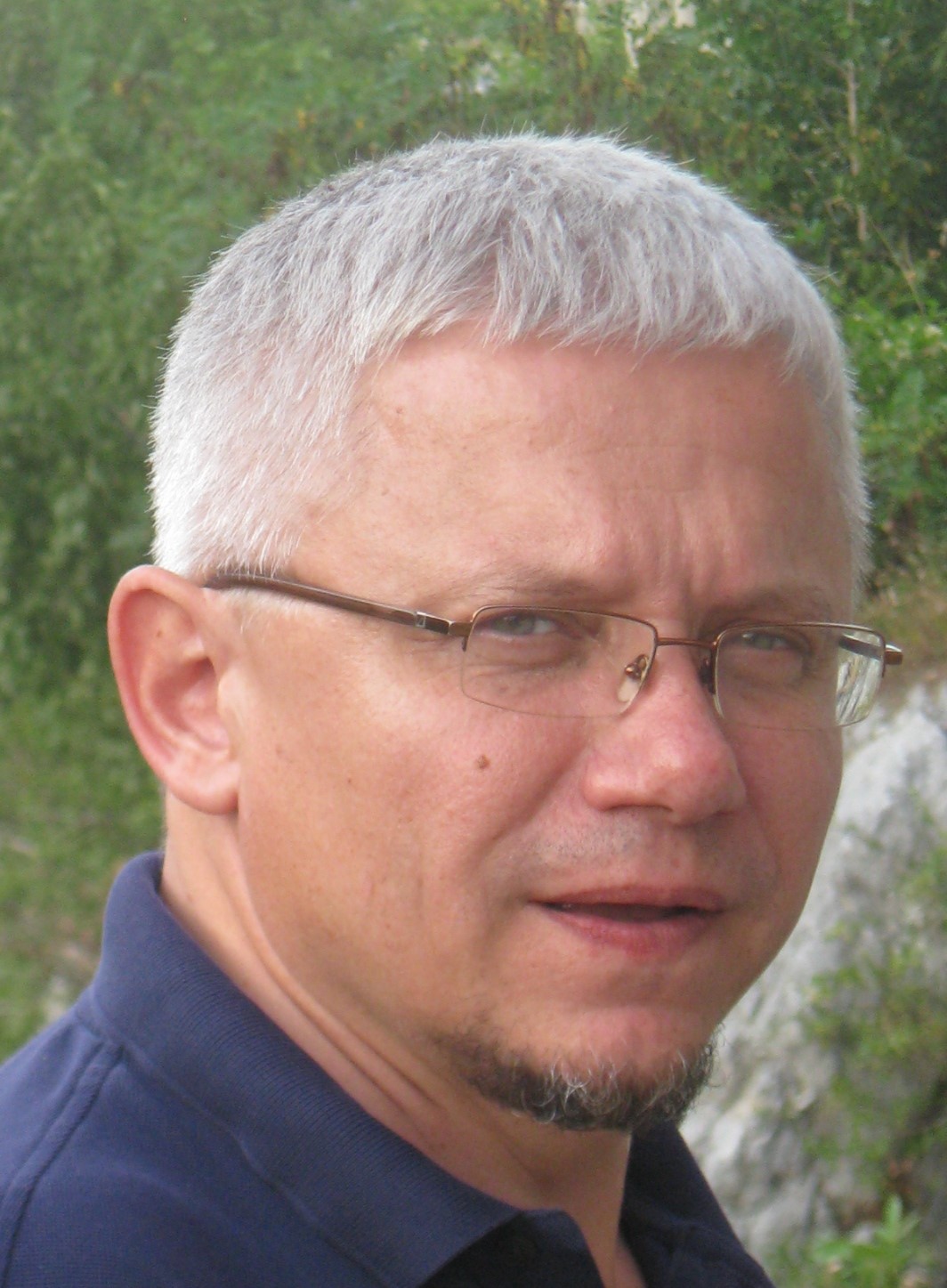
Prof. Željko BAČIĆ Digital Technology for Agriculture University of Zagreb, Croatia |
| 09:50 – 10:10 |
Prof. Fatma TRABELSI Artificial Intelligence for Smarter Water Management in AI4Water Project ESIM, Tunisia |
| 10:10 – 10:30 |
Zeineb Kassouk Remote Sensing and Geospatial AI for Geomodelling Land Degradation in the Joumine Watershed, Tunisia Zeineb Kassouk1, Raoudha Haboubi2, Inaam Ghariani1, Mariem Chammam2 1 Laboratory GREEN-TEAM LR17AGR01, University of Carthage, National Agronomic Institute of Tunisia, Tunisia 2 Faculty of Letters, Arts and Humanities of Manouba, Tunisia |
| 10:30 – 11:00 | Discussion and Q&A |
| 11:00 – 11:15 | Break |
| Keynote Session 2 | |
| 11:15 – 11:35 |
Prof. Said LAARIBYA Climate Change and Spatio-Temporal Land Cover Dynamics in Talassemtane National Park (Morocco): Insights from Artificial Intelligence and Google Earth Engine Ibn Tofail University, Morocco |
| 11:35 – 11:55 |
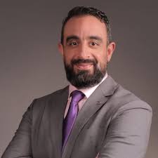
Prof. Hicham HAJJI Next-Gen Geospatial AI: Deep Dive into Geospatial Foundation Models IAV Hassan II, Morocco |
| 11:55 – 12:15 |
Dr. Tarik BENABDELOUAHAB Monitoring Crop Development Through Phenology-Based Remote Sensing INRA, Morocco |
| 12:15 – 12:30 | Discussion and Q&A |
All session times are displayed in Morocco Standard Time (GMT+1).
| Time | Activity |
|---|---|
| 09:00 – 12:30 | PhD Students' Presentations – Session 1 |
| 09:00 – 09:20 | Zakaria Ntihebuwayo From Black Box to Geological Discovery: Explainable Artificial Intelligence and Causal Inference Applied to Rare Earth Exploration in Gakara (Burundi) |
| 09:20 – 09:40 | Asmaa Moussaoui Mapping and Analysis of Rurban Dynamics: A Hybrid Approach Integrating Geospatial and Socio-Demographic Data |
| 09:40 – 10:00 | Walid Elbarz National-Scale Crop Type Mapping in Morocco Using Google AlphaEarth Foundations Embeddings and the Fields of the World Field Boundary Map |
| 10:00 – 10:20 | Marwa Zerrouk Monitoring of the Sidi Moussa Oualidia Wetland Using Remote Sensing Indices with Google Earth Engine |
| 10:20 – 10:35 | Break |
| 10:35 – 11:55 | PhD Students' Presentations – Session 2 |
| 10:35 – 10:55 | Emmanuel Yerbo GeoAI-Driven Precision Agriculture: A Self-Trained 1D-CNN for Spectral-Temporal Vegetation Mapping and Variable-Rate Nitrogen Prescription in the Prestea Huni-Valley Municipality, Ghana |
| 10:55 – 11:15 | Maha Machdoud Smartphone-Based Photogrammetry for Biomass Assessment in the Middle Atlas Rangelands |
| 11:15 – 11:35 | Aya Zitane Weakly Supervised Mapping of Tree-Based Agriculture Using Multi-Temporal Sentinel-2 and Auxiliary Geospatial Data |
| 11:35 – 11:55 | Hassan Hani GeoAI-Based Analysis of the Relationship Between Land Use/Land Cover Dynamics and GRACE-Derived Data in Errachidia Province, Morocco |
| 11:55 – 12:30 | Closing Discussion & Final Remarks |
Geospatial Artificial Intelligence is an emerging field that combines advanced AI techniques with geospatial data to analyze, model, and manage complex environmental and urban systems. By integrating spatial information with machine learning and data-driven methods, it enables new capabilities for Earth observation, resource optimization, and informed decision-making in a rapidly changing world. The GeoAI4SD 2026 conference aims to bring together researchers, academics, practitioners, and industry leaders to discuss emerging methods, applications, and challenges at the intersection of artificial intelligence, geospatial technologies, sustainability, and digital transformation. It provides a platform for showcasing innovative GeoAI approaches that contribute to addressing global environmental and societal challenges, including the achievement of the United Nations Sustainable Development Goals (SDGs). Contributions are encouraged across a broad range of topics, including spatial data science, remote sensing technologies, machine learning applications, geospatial data infrastructures, urban and environmental digital twins, and intelligent decision-support systems for building resilient and sustainable territories.
Institut National Agronomique de Tunisie (INAT) - Tunisia
Dr. Zeineb Kassouk is an Associate Professor in geomatics and remote sensing at the National Agronomic Institute of Tunisia (INAT), Tunisia. Her research focuses on satellite image analysis, digital soil mapping, agricultural monitoring, and environmental applications of geospatial technologies. Her work addresses remote sensing for natural resources, soil organic carbon assessment, water management, climate change impacts, and AI-based mapping methods.
university of Jendouba/IRESA- Tunisia
Prof. Fatma Trabelsi is an Associate Professor of Hydrogeology and Geomatics at the University of Jendouba and a researcher affiliated with IRESA, Tunisia. Her research focuses on hydrogeology, groundwater management, GIS, remote sensing, geostatistics, machine learning, and climate change applications. She has contributed to several international projects on water resources, flood risk assessment, and environmental monitoring.
University of Zagreb- Croatie
Prof. Željko Bačić is a Professor at the Faculty of Geodesy, University of Zagreb, Croatia. His expertise focuses on satellite positioning, Earth observation, spatial data infrastructures, and geospatial technologies for governance and disaster risk reduction. He previously served as Director General of the Croatian State Geodetic Administration and contributed to major national geospatial reforms, including CROPOS and the Croatian National SDI.
Ibn Tofail University [UIT] - Morocco
Prof. Said Laaribya is a Moroccan researcher and faculty member at Ibn Tofail University, Morocco, specializing in forestry and environmental sciences. His research focuses on forest ecosystem management, climate change adaptation, desertification mitigation, Earth observation, and spatial planning. His work addresses sustainable natural resource management, environmental monitoring, and the development of geospatial approaches to support ecosystem conservation and sustainable development.
Agronomic and Veterinary Hassan II Institute [IAV Hassan II] - Morocco
Prof. Hicham Hajji is a Moroccan researcher, geospatial expert, and Professor at the School of Geomatic Sciences and Surveying Engineering of IAV Hassan II, Rabat, Morocco. He received his Engineering degree in Surveying Engineering from IAV Hassan II and holds both an M.Sc. and a Ph.D. in Computer Science from INSA Lyon, France. His research focuses on Geographic Information Systems (GIS), Artificial Intelligence, Big Data, spatial data infrastructures, and web mapping technologies. He has contributed to numerous national and international projects related to geospatial innovation, data science, and digital transformation for sustainable territorial development.
National Institute of Agricultural Research [INRA] - Morocco
Dr. Tarik Benabdelouahab is a Moroccan agricultural scientist and Head of the Environment and Natural Resources Department at INRA Morocco. His research focuses on satellite remote sensing, digital agriculture, climate resilience, and environmental modeling for sustainable resource management. He contributes to projects on digital soil mapping, crop yield forecasting, and agro-meteorological modeling.
Authors are invited to submit papers for review by the Scientific Committee.
Email: dtt4sd@gmail.com
Subject: Paper Submission – GeoAI4SD 2026