
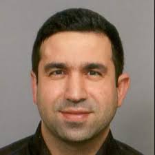
Institut National Agronomique de Tunisie (INAT) - Tunisia
Dr. Zeineb Kassouk is an Associate Professor in geomatics and remote sensing at the National Agronomic Institute of Tunisia (INAT), Tunisia. Her research focuses on satellite image analysis, digital soil mapping, agricultural monitoring, and environmental applications of geospatial technologies. Her work addresses remote sensing for natural resources, soil organic carbon assessment, water management, climate change impacts, and AI-based mapping methods.
university of Jendouba/IRESA- Tunisia
Prof. Fatma Trabelsi is an Associate Professor of Hydrogeology and Geomatics at the University of Jendouba and a researcher affiliated with IRESA, Tunisia. Her research focuses on hydrogeology, groundwater management, GIS, remote sensing, geostatistics, machine learning, and climate change applications. She has contributed to several international projects on water resources, flood risk assessment, and environmental monitoring.
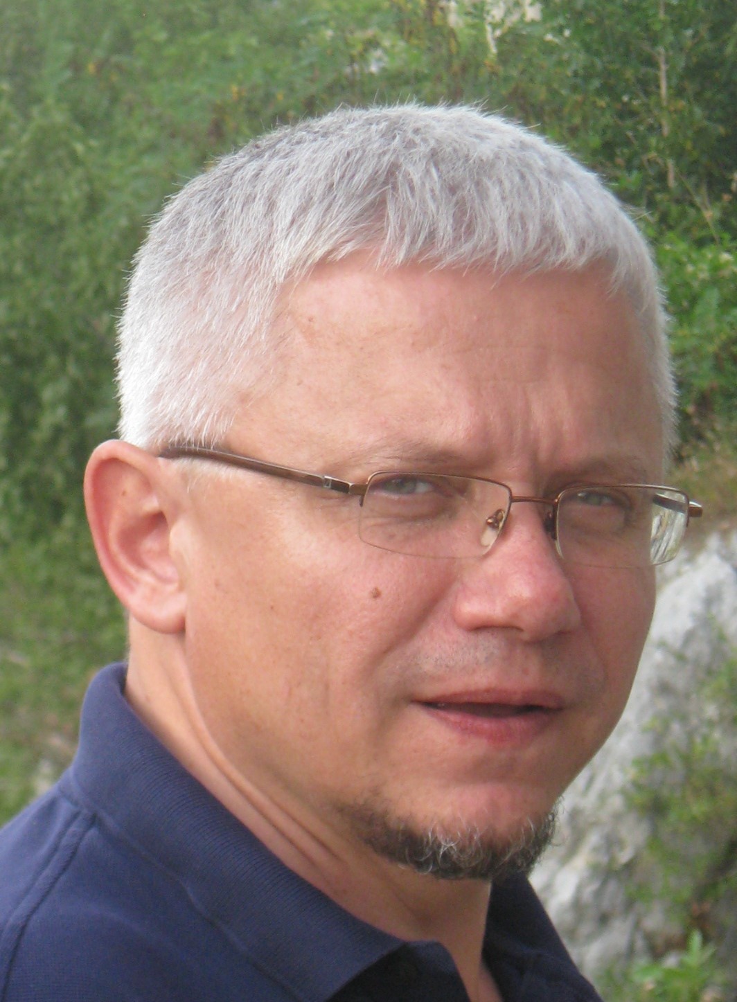
University of Zagreb- Croatie
Prof. Željko Bačić is a Professor at the Faculty of Geodesy, University of Zagreb, Croatia. His expertise focuses on satellite positioning, Earth observation, spatial data infrastructures, and geospatial technologies for governance and disaster risk reduction. He previously served as Director General of the Croatian State Geodetic Administration and contributed to major national geospatial reforms, including CROPOS and the Croatian National SDI.
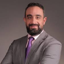
Ibn Tofail University [UIT] - Morocco
Prof. Said Laaribya is a Moroccan researcher and faculty member at Ibn Tofail University, Morocco, specializing in forestry and environmental sciences. His research focuses on forest ecosystem management, climate change adaptation, desertification mitigation, Earth observation, and spatial planning. His work addresses sustainable natural resource management, environmental monitoring, and the development of geospatial approaches to support ecosystem conservation and sustainable development.
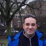
Agronomic and Veterinary Hassan II Institute [IAV Hassan II] - Morocco
Prof. Hicham Hajji is a Moroccan researcher, geospatial expert, and Professor at the School of Geomatic Sciences and Surveying Engineering of IAV Hassan II, Rabat, Morocco. He received his Engineering degree in Surveying Engineering from IAV Hassan II and holds both an M.Sc. and a Ph.D. in Computer Science from INSA Lyon, France. His research focuses on Geographic Information Systems (GIS), Artificial Intelligence, Big Data, spatial data infrastructures, and web mapping technologies. He has contributed to numerous national and international projects related to geospatial innovation, data science, and digital transformation for sustainable territorial development.
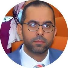
National Institute of Agricultural Research [INRA] - Morocco
Dr. Tarik Benabdelouahab is a Moroccan agricultural scientist and Head of the Environment and Natural Resources Department at INRA Morocco. His research focuses on satellite remote sensing, digital agriculture, climate resilience, and environmental modeling for sustainable resource management. He contributes to projects on digital soil mapping, crop yield forecasting, and agro-meteorological modeling.
Authors are invited to submit papers for review by the Scientific Committee.
Email: dtt4sd@gmail.com
Subject: Paper Submission – GeoAI4SD 2026